
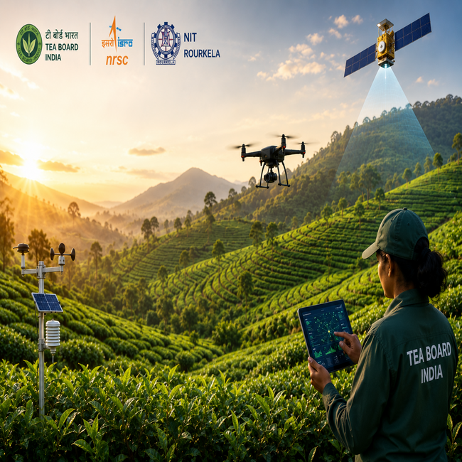

Tea Board India has signed a tripartite Memorandum of Understanding with the National Remote Sensing Centre of the Indian Space Research Organisation and the National Institute of Technology Rourkela to develop an artificial intelligence-based system for monitoring tea plantations across India.
The collaboration is part of a research and development project called CHAAYANKAN, short for Comprehensive AI-based Geospatial Data Analytics for Tea Plantation Monitoring. The MoU was signed on August 27, while the three-year project is scheduled to run from April 2026 to March 2029.
The initiative will combine satellite and unmanned aerial vehicle remote-sensing data with ground observations and use machine learning and modelling techniques to analyse tea plantations. It will cover major tea-growing regions across the country.
A key focus of the project will be mapping tea-growing areas, estimating green-leaf yield and identifying risks to plantation health. The system is also expected to support the detection of biotic and abiotic crop stress and provide forecasts for major pests and diseases.
By combining information gathered from satellites, drones and field observations, researchers aim to create a more data-driven approach to monitoring plantations. This could help provide tea producers and administrators with more timely information about crop conditions and potential threats.
The partnership brings together different areas of expertise. NRSC will contribute its capabilities in satellite remote sensing and geospatial technology, while NIT Rourkela will bring research expertise in artificial intelligence, machine learning and data analytics. Tea Board India will provide technical and field-level support through its network and help integrate ground observations with remote-sensing datasets.
The project is also expected to create a repository of geospatial and field-level information on India's tea plantations. The database could support future research as well as evidence-based planning and policy decisions for the sector.
Tea Board India said the use of advanced geospatial technologies and AI-driven analytical tools is expected to contribute to more efficient monitoring while supporting productivity and sustainability in tea cultivation.
The initiative comes as AI and remote-sensing technologies find wider applications in agriculture, where large cultivation areas can make continuous physical monitoring difficult. Satellite and drone-based data can supplement field inspections by providing information across geographically dispersed plantations.
CHAAYANKAN will now be implemented and evaluated over the project period. Its effectiveness will depend on how accurately the AI and geospatial systems can translate satellite, drone and field data into useful information for plantation monitoring, yield assessment and early identification of crop-related risks.
Disclaimer: This article may include information derived from interviews, press releases, public statements, research, company communications and other publicly available or third-party sources. Such material may be summarised, paraphrased or contextualised for journalistic and editorial purposes. All rights in third-party content remain with their respective owners.